2D & 3D Modelling
Using highly specialized Photogrammetry Software2D & 3D Modelling
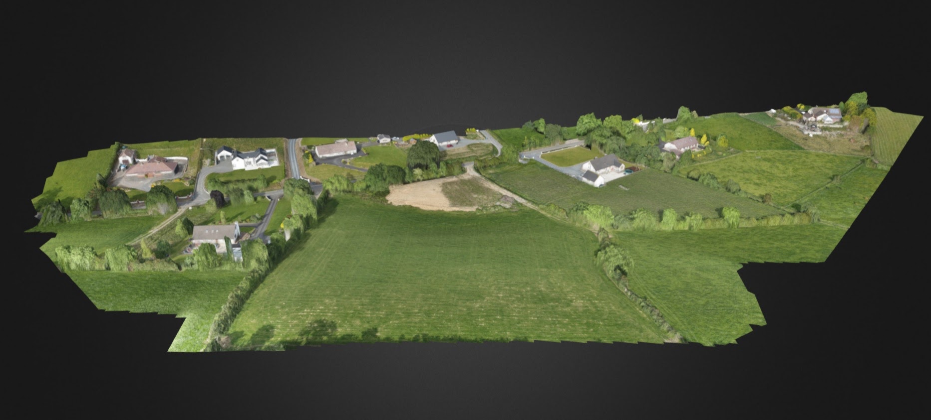
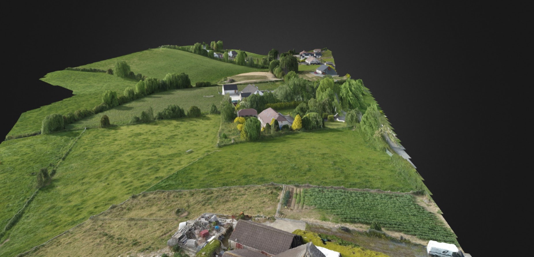
2D and 3D mapping services via UAV are finding their way into a broad variety of applications across the construction sector and further afield. Already industries such as quarrying, engineering, forestry, archaeology, construction and the planning authorities have benefited from 2D and 3D modelling.
At Mourne Air we use highly specialized photogrammetry software to create our 2D and 3D maps. Our output data is compatible with AutoCAD 3D Civil and many other platforms. As you can see from the below list the data captured is extremely versatile.


Data Output Files
JPG (RGB Image)
- Available for all 2D layers: 2D Map, Elevation, and Plant Health.
- Includes a .KML file and a .TWF file with the georeferenced data.
- Easy to share through any standard image software such as Windows Photo Viewer or Preview. Print or use within presentations.
DXF/SHP (Contour files)
- Available for Elevation exports.
- Georeferenced lines of equal elevation according to the chosen interval.
- For use in AutoDesk suite and Mining/Construction software.
GeoTIFF (RGB Image)
- Available for all 2D layers: 2D Map, Elevation, and Plant Health.
- Includes a .TWF file with the georeferenced data.
- Includes a .KML file is when using the Web Mercator Projection.
- File format suited for 2D analysis in GIS software such as ArcGIS or QGIS.
Shapefile (Contour files)
- Available for Plant Health exports.
- Plant health data stored as a set of shapes (polygons) with a default resolution of 10m x 10m.
XYZ (Point Cloud)
- xyz point cloud that contains RGB information (XYZRGB). Resolution is specifiable.
- Most common file format accepted across Construction/Mining software formats.
GeoTIFF (Raw Elevation Values – DEM)
- Available for Elevation exports.
- One-band GeoTIFF file with embedded elevation values.
- File format suited for 2D analysis in GIS software such as ArcGIS or QGIS.
OBJ (3D Model)
- Digital Model. .obj surface with .jpg texture files model.
- Not georeferenced: defined in a model-local coordinate system.
These 2D and 3D maps can be used for:
- Volumetric Surveys
- Planning Applications
- Roof Inspections
- As Built drawings
- Erosion monitoring
- Cut/Fill mapping